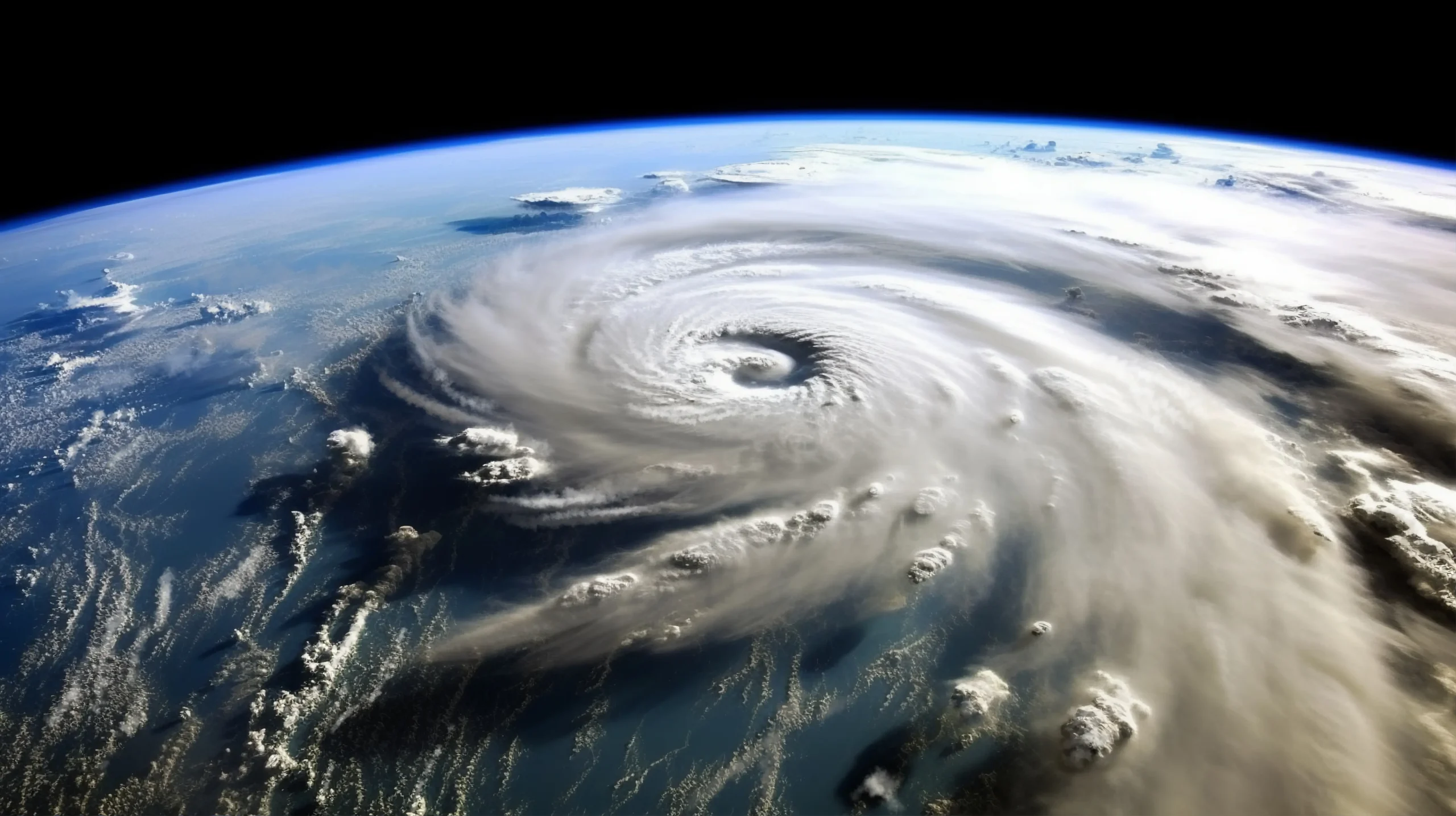
Hurricane Erin: A Wake-Up Call for the East Coast
On the morning of August 21, 2025, the East Coast woke up to an alarming sight: Hurricane Erin, a sprawling Category 2 storm, was racing north just offshore. Satellite images showed the huge cyclone almost parallel to the beaches, its outer bands already lashing states like Florida, Georgia, and the Carolinas. Erin never made landfall, yet its pounding surge and howling winds flooded low-lying areas and knocked out power across multiple states. The storm was a stark reminder that, today, hurricanes don’t have to touch land to cause catastrophic damage. The strongest gusts reached inland, and tropical storm-force winds stretched 300 miles from the eye, delivering devastation hundreds of miles from the core.
What makes Erin especially significant is how quickly the storm strengthened. Within a day of forming, Erin jumped to Category 5, attaining 160 mph winds, and then weakened to Category 2 36 hours later. This explosive growth was one of the fastest rapid intensifications the Atlantic has ever seen, a phenomenon scientists link to a warming ocean.
Immediate Impacts: Coastal Evacuations, Life-Saving Rescues, and Beach Closures
Hurricane Erin slammed the Outer Banks of North Carolina, forcing the strongest response from state and beach authorities. A mandatory evacuation order covered Hatteras and Ocracoke Islands. Officials warned that coastal flooding could block the one road that links the barrier islands—Highway 12—for days. “Don’t assume that a storm off the coast won’t cause serious problems. Even weak indirect hits can do major damage,” Dare County Manager Robert Outten stressed.
Ocean Conditions Turn Deadly
Even far from the center, Erin’s massive wind field sent 20-foot waves racing toward the coast, generating rip currents that stretch from Florida to New England. North Carolina beach rescues soared; New Hanover County alone logged over 75 rip current calls. At Wrightsville Beach authorities declared a no-swim order—strong swimmers were being pulled from the water within minutes. Ocean safety personnel warned that a moment’s overconfidence can end in tragedy.
A Prohibited Swim
From New York to Massachusetts, leaders reacted fast to keep people safe. Governor Kathy Hochul stopped all swimming at Long Island beaches, and New Jersey’s Governor Murphy asked everyone to stay out of the water. Down in Rehoboth Beach, Delaware, red flags waved in pairs, letting everyone know swimming was strictly off-limits.
Homes and Beach Roads at Risk
Hurricane Erin’s storm surge hit when king tides—the month’s highest tides—were at their peak, putting roads and buildings in danger. Buxton, North Carolina, saw seawater flood under beachfront condos and cottages, endangering places already worn down by softening sand. National Park superintendent David Hallac said that homes in Rodanthe and Buxton may cave in any day now.
Staying Safe in the New Normal
Hurricane Erin teaches that getting ready is a must, even for storms that keep to the water. Here are the vital lessons to carry forward.
Watch for Rip Currents: These currents caused the majority of hurricane deaths in the U.S. Respect the water when a storm is nearby.
Follow Evacuation Orders: This proved that roads, power, and services can break down even when a storm stays offshore. If officials call for evacuation, obey.
Boost Climate Resilience: Coastal towns must fund projects like building back up sandy dunes and nourishing the beach. Those actions can soften a storm’s punch.
Conclusion: A Warning
Hurricane Erin didn’t just miss us; it showed what tomorrow will look like. Warmer oceans and rising seas will push storms to grow, pack a bigger punch, and turn destructive even if they hold off from the coast.
Source: https://edition.cnn.com/weather/live-news/hurricane-erin-storm-path-east-coast-08-20-25
For more incredible stories of everyday news, return to our homepage.


